Start with the kind of habitat you want to understand rather than a promise of a particular animal. Wetland margins, woodland edges, grasslands and rocky coasts each offer different opportunities and responsibilities. Learning how water, vegetation and shelter shape animal movement produces more adaptable fieldcraft than following a recent sighting to an unfamiliar place.
Build a route around official access
Use the land manager’s website to check opening times, path closures, permits and current notices. Study the official map before relying on a route uploaded by another visitor. A track visible on satellite imagery may be private, seasonal or closed for conservation. Plan a return route and a reasonable turnaround time so a missed sighting does not encourage hurried decisions.
Check weather and daylight, and use authoritative tide information for coastal visits. Mudflats, tidal channels, cliffs and riverbanks can be dangerous even when they look accessible. A wildlife guide is not a substitute for local safety information. Tell someone your plan when appropriate and carry equipment suited to the route rather than only to the camera.
Wetlands: work with water and cover
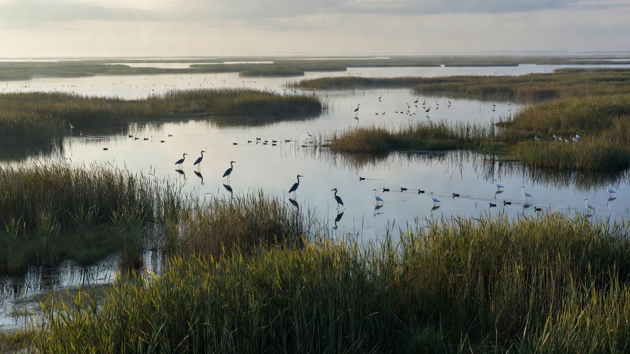
Reed beds, shallow pools and estuary margins support feeding and resting birds, but their accessibility changes with water levels and seasons. Public hides and boardwalks can provide useful views while concentrating people on durable routes. Enter quietly, keep openings clear and avoid extending equipment in ways that disturb birds or obstruct other visitors.
The Camargue, the Danube Delta and the Everglades illustrate how extensive wetland systems contain very different channels, vegetation and access arrangements. They are broad learning examples, not instructions to approach a particular colony. Consult the relevant reserve or park authority and use authorised guides where conditions require local knowledge.
Woodlands: respect concealment
Woodland animals often depend on cover and quiet routes between feeding and resting areas. Stay on marked paths and avoid following an animal into dense vegetation. Low light may limit shutter speed; solve that limitation with technique or a different subject, not by clearing branches or using a bright light to expose the animal.
The New Forest and Białowieża Forest demonstrate how apparently similar wooded landscapes can have distinct management, wildlife and visitor restrictions. Do not assume rules transfer between them. A fallen tree, patch of scrub or deadwood pile can be habitat rather than an obstacle to remove from a photograph.
Grasslands: distance remains visible
Open country can make animals appear easier to approach because you can see them far away. Visibility does not eliminate disturbance. Use established viewpoints or authorised vehicles, avoid crossing between members of a group and leave travel corridors open. Heat shimmer and strong light may affect images; those conditions do not justify closing the gap.
The Serengeti, Maasai Mara and Yellowstone contain well-known wildlife viewing opportunities, but they do not share one set of rules or risks. In Yellowstone, consult the National Park Service for current wildlife and access guidance. Elsewhere, follow the relevant reserve authority and your qualified guide rather than copying practices seen online.
Coasts: protect resting time
Shorebirds and marine mammals may have limited places to rest above the tide. Approaching a group can force repeated movement at a time when energy conservation matters. Keep to authorised routes, observe seasonal restrictions and never position yourself between animals and the water. An animal raising its head repeatedly may be responding before the group visibly moves.
The Wadden Sea, the Farne Islands and the Galápagos Islands are useful examples of places where habitat protection and managed access are central to a visit. Boat operators, landing rules and closures matter as much as lens choice. Confirm current arrangements with the responsible authority; a published photograph is not evidence that its viewpoint remains open.
Share a place without exposing it
After a visit, describe habitat and broad region rather than sensitive coordinates. Check exported files for location metadata and consider whether visible landmarks identify a nest, den or vulnerable roost. Do not post live directions to rare animals. When discussing a public reserve, link to its official visitor information instead of circulating an informal shortcut.
Return visits to an ordinary local patch can reveal seasonal change more meaningfully than constant travel. Notice vegetation growth, water levels, feeding patterns and the effect of visitor pressure. Habitat knowledge turns a walk into a continuing study—and makes it easier to recognise when the best contribution is to leave a place quiet.